Google Maps to provide alerts for all rail crossings in the U.S.
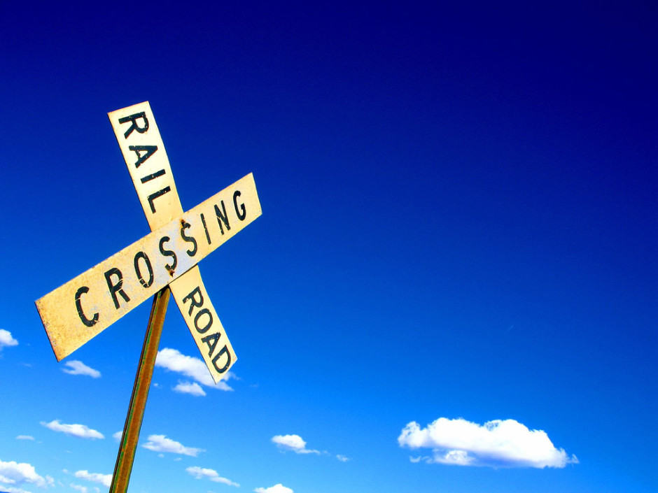
Google Maps will have alerts for all rail crossings in the U.S. Photo: Flickr/Mike Brown (CC)
Google has teamed up with the Federal Railroad Administration to bring rail crossing warnings to Google Maps. Every crossing in the U.S. will be added, and drivers will receive alerts while using turn-by-turn directions in the Maps app.
Google and the Department of Transportation is hoping the alerts can curb the number of rail crossing accidents, which rose 9 percent last year. After trespassing accidents, rail crossing accidents are the second-highest cause of rail fatalities.
Officials believe the reason for that is driver inattention, and a lack of information at rail crossings. “In many instances, there are no gates or blinking lights to warn drivers of an oncoming train — just a crossing sign or a crossbuck,” reports The New York Times.
Now Google is putting all 130,000 public and 85,000 private grade crossings into Maps, not only to make them easy to find, but also to alert drivers to them. Both audio and visual alerts will be presented during turn-by-turn navigation.
The Federal Railroad Administration is hoping that other maps providers will follow in Google’s footsteps. The agency has already reached out to four other companies — Apple, MapQuest, TomTom, and Garmin — to get them involved, but Google is the only one on-board so far.
It’s not yet clear when rail crossing warnings will be available in Google Maps, but we expect to hear more soon.
- SourceThe New York Times

